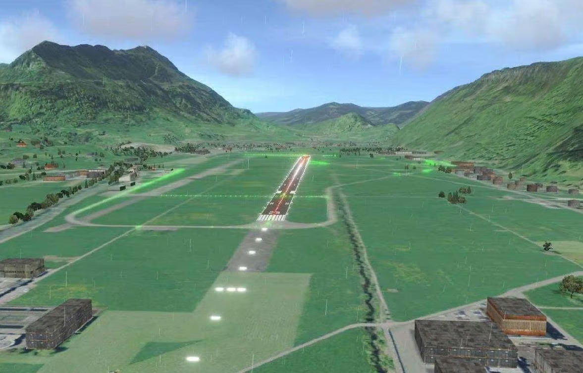
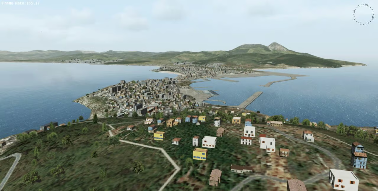
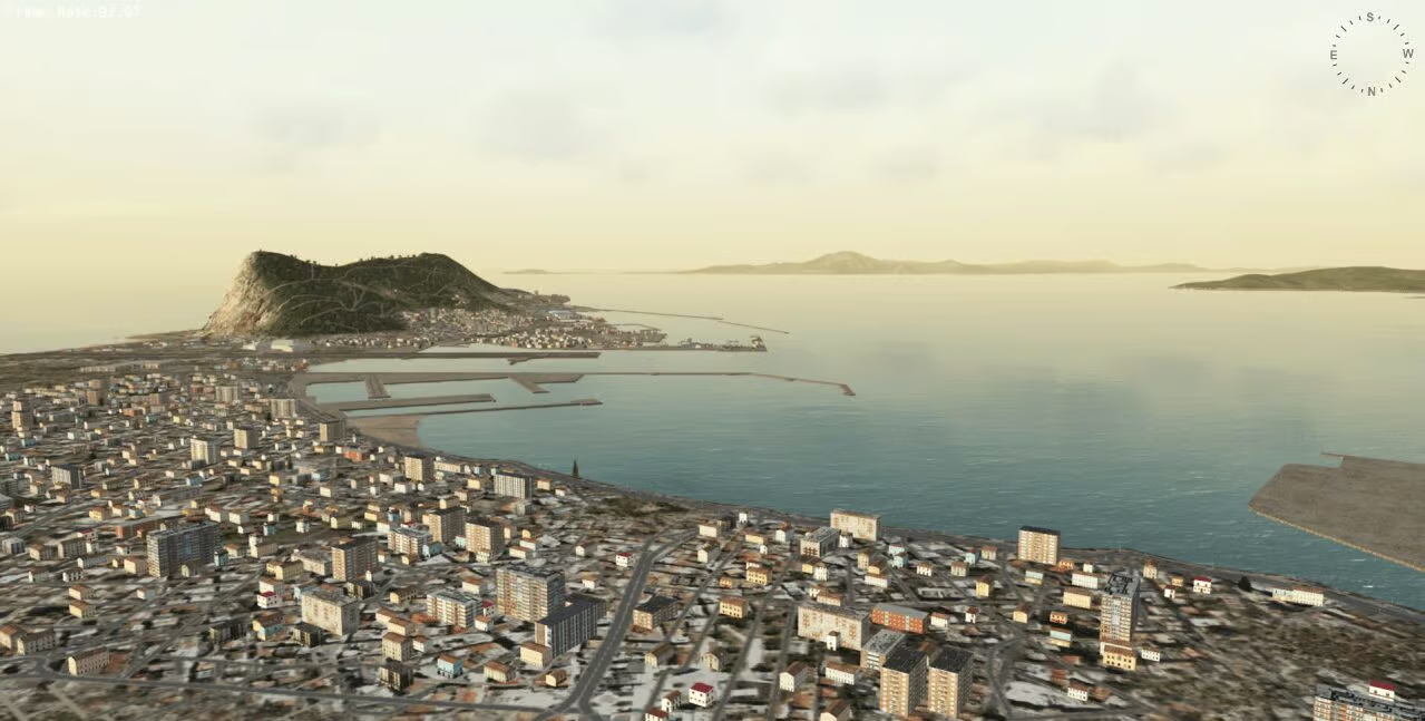
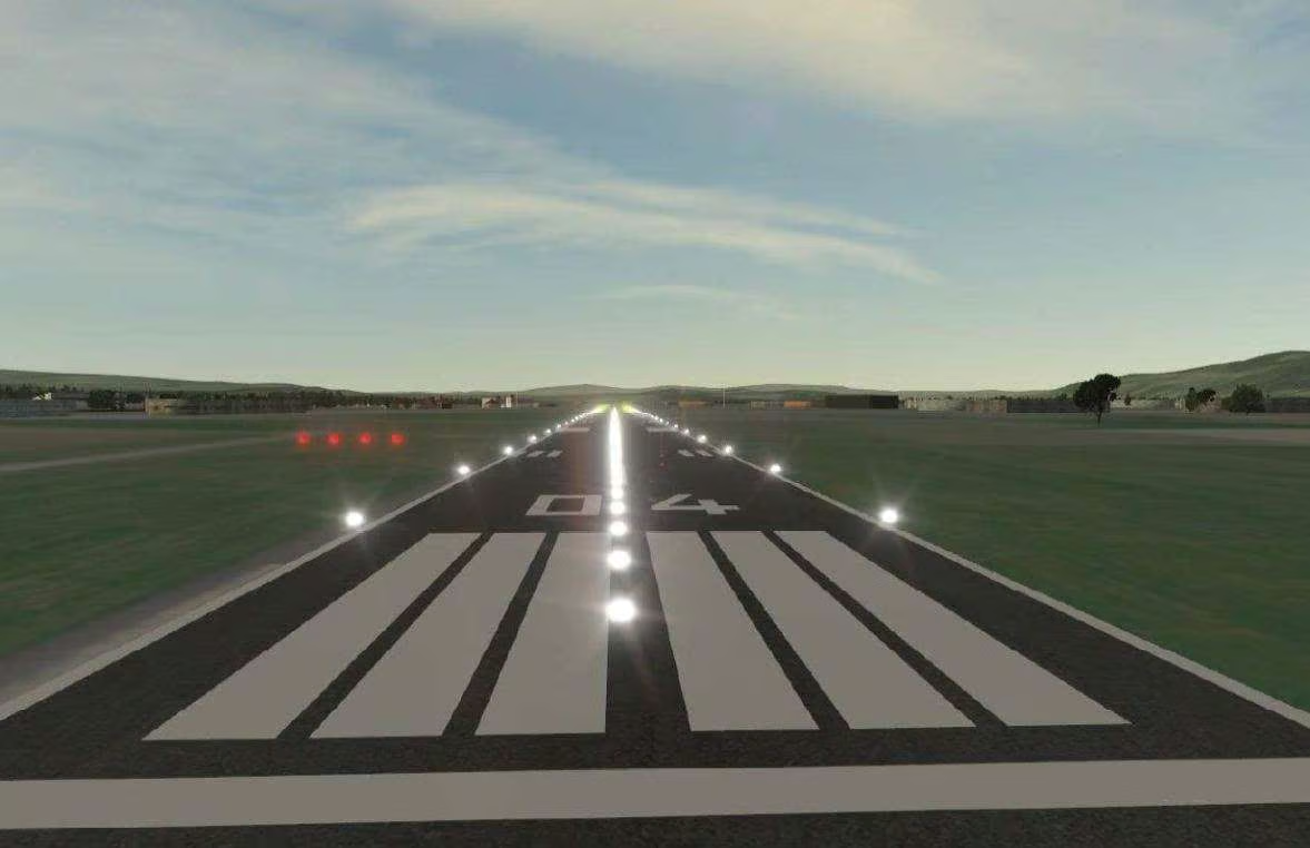
A Terrain database is a virtual model of the landscape where the simulation takes place. Its character, quality, and content define what can be done in the simulated environment. The geographic coverage of the terrain defines the size of the area where the simulation can take place. The resolution and level of detail of the terrain database content define the fidelity of interactions possible within the environment.
WHAT IS A TERRAIN DATABASE?
TERRAIN MODELLING & VISUALISATION SOFTWARE
The Terrain Database has a large impact on the overall system design, utility, performance, and cost. Evaluating a terrain database is easy for a stand-alone system in an arbitrary world, and much more complicated in a distributed system involving simulators of different kinds, made by different vendors, and all having to match details from the real world.
LEVELS OF INTEGRATION
Depending on your needs, Antycip’s teams of experts can:
- Create high fidelity modelling of the terrain your project requires.
- Create high fidelity 3D models.
- Select the right source data for your project.
- Processes GIS source data for optimal use in your terrain generation process
- Distribute powerful web-based streaming terrain server that lets you stream the whole world
A CUSTOM SOLUTION TO MEET YOUR REQUIREMENTS
At ST Engineering Antycip, formerly known as Antycip Simulation, we have a broad range of solutions that support different terrain formats and 3D entity models, open formats. Some of the most common 3D formats include FLT, metaflight, 3DS, CDB, and Shapefile.
WIDE RANGE OF ENTITIES AND MODELS
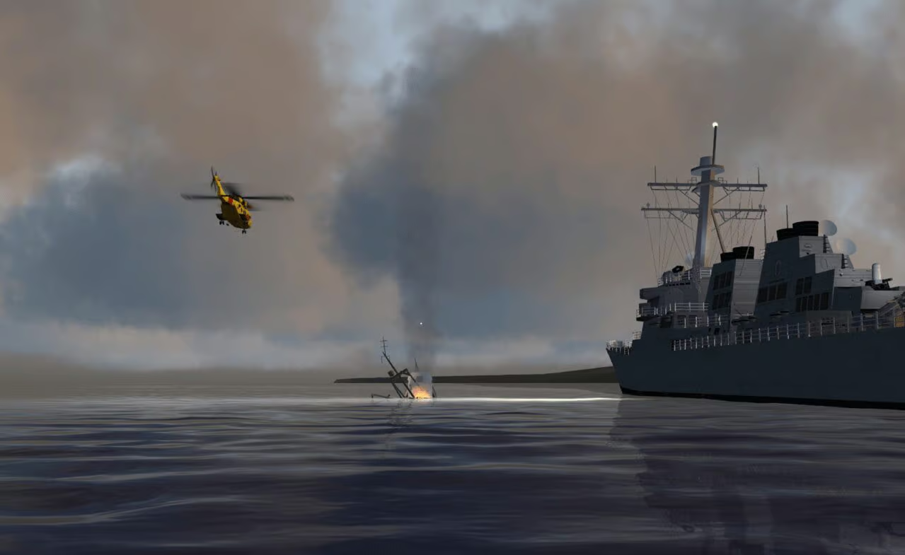
- Our in-house teams of engineers can model any type of vehicles and entities (planes, ships, ground vehicles, military vehicles), but also specific infrastructures, such as an oil rig, and a wide range of vegetation and animals, plants, trees, etc.
- High fidelity and high resolution models with different visualisation states (damaged entities, or entities with articulated and moving parts, such as the cannon of a MBT)
- We create dynamic terrains that adapt to the scenario (destroying buildings, impact holes on the ground, etc)
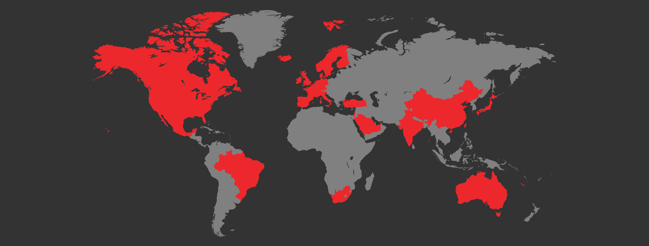
WORLDWIDE INSTALLATIONS
Drawing on over twenty years of expertise, we can design, source and install anywhere your project needs us to.
Our work has taken us across the globe, with projects as far away as Australia and as close to home as our neighbours.