
Global Navigation Satellite System (GNSS) simply refers to a constellation of satellites providing signals from space that transmit positioning, navigation, and timing data to GNSS receivers.
Users take GNSS receivers for granted, without necessarily realising the intricacies involved in delivering the signals they rely on for their different devices and applications.
The users are probably aware of issues affecting how these systems determine their positions. Things like trees, foliage, mountains, and buildings can cause issues in receiving signals from the GNSS satellites.
Other lesser-known GNSS issues may also cause errors, while still having the potential to be disruptive.
ST Engineering Antycip’s partner AGI has been investigating these issues and has developed strategies and tools for users to understand and overcome multi-domain GNSS challenges.
How GNSS Works
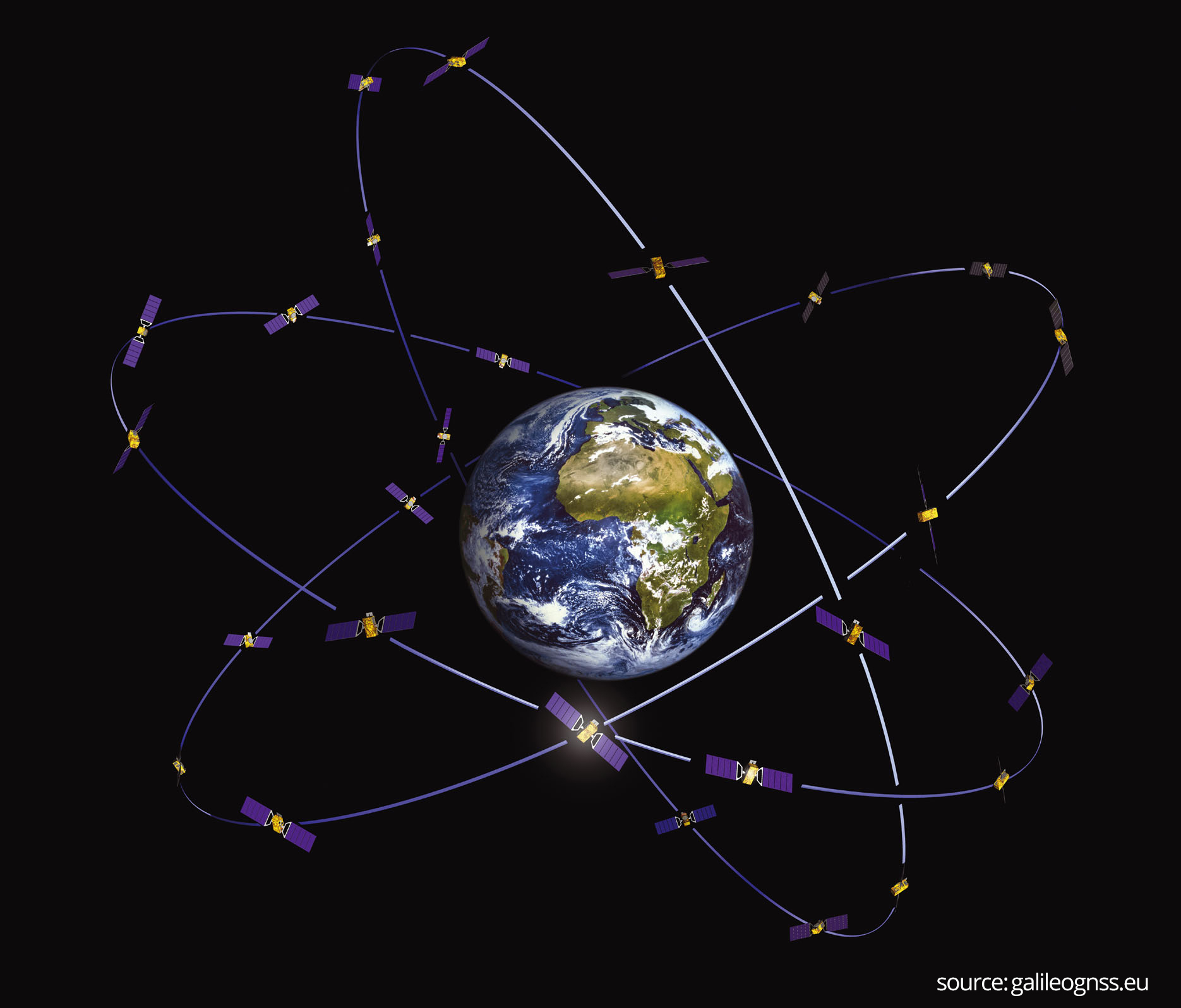
The Global Navigation Satellite System (GNSS) refers to a constellation of satellites in space that provide signals transmitting data to GNSS receivers. This data contains positioning and timing details. Once the receivers get these signals, they can use the data to determine location. GNSS provides global coverage, and includes the European Galileo satellite-based navigation system.
There are four criteria for assessing the performance of GNSS:
- Accuracy
- Integrity
- Continuity
- Availability
Accuracy is the most important, since this will largely determine the integrity of the signal.
Continuity is crucial too, because it indicates the system’s ability to function without interruption.
Finally, availability is the percentage of time the signal fulfils the other criteria.
Individual satellite systems within GNSS will differ in technical details, but will share similar characteristics. Consequently, there are two key effects that can impact the accuracy of positioning:
- Signal availability, and
- Dilution of precision (DOP)
Signal Availability
GNSS systems will send encoded signals to a receiver, but if something gets in the way of these signals, or modifies them, this can prevent the receiver identifying the correct position. There are various causes of signal interference, some intentional, others occurring by chance.
GNSS systems share a common trait; they are all very far away. This applies to Galileo, to the US GPS satellite constellation, the Chinese BeiDou system, and the Russian GLONASS. They are all in Medium Earth Orbit (MEO), about 12,550 miles, or 20,200 kilometres, from Earth.
GNSS are low power compared to other radio systems, transmitting less than 50 watts. The result is that other external signal sources or errors can easily overwhelm these satellite signals.
Besides interference, receivers can also find it difficult to determine the correct signal because of multipath fluctuations of signal strength. Here, the receiver gets the same signal twice, from the source, but also from nearby RF-reflective surfaces.
Signal travel times can have an impact on availability, because the signal must travel through the atmosphere and ionosphere to reach the receiver. There can also be tropospheric signal errors, caused by changes in temperature, density, humidity or pressure.
Various physical and electronic factors can also cause signal disruption, including terrain, building and jammers.
Time to First Fix
Time to First Fix (TTFF) is the measure of time that it takes a GPS navigation device to acquire satellite signals. There are three TTFF scenarios:
- Cold, or factory
- Warm, or normal
- Hot, or standby
In the cold scenario, the receiver is offering inaccurate estimates of position, velocity, time or satellite reception. The GPS receiver must obtain a stable signal from the satellite to get reliable information.
In the warm scenario, the receiver is ready to receive a signal from the source satellite and can request data through a stable connection.
When the scenario is hot, this means the receiver has a fix on the satellite, and is ready, on standby, to request data without spending time locating the satellite and connecting to it. The receiver should know what satellites are in view from the almanac it has stored in its memory.
However, if the almanac is old, this can lead to delays, with the receiver taking longer to get a fix on the satellites.
Dilution of Precision (DOP)
The arrangement of satellites in space will affect the accuracy of GPS positioning. There is an ideal arrangement for satellite systems to transmit accurate signals. Typically, this involves one satellite directly overhead, with others equally spaced near the horizon.
DOP errors can occur due to the relative positions of satellites in three-dimensional space.
Poor geometrical DOP values indicate a bad positioning of satellites.
There are various parameters for DOP, and the most important ones are:
- Horizontal dilution of precision
- Vertical dilution of precision
- Position dilution of precision
- Time dilution of precision
These DOP values are heavily dependent on the number of available satellites and their positions. Generally, if there is an increase in the number of tracked satellites, then the precision of positioning signals will improve. This is indicated by a decrease in DOP values.
GNSS Signal Solutions
You can mitigate factors such as signal travel times by mathematical models and frequency corrections.
It is also important to understand aspects of multi-domain GNSS, such as how a receiver is injecting noise into the communications stream, and the receiver’s antenna gain profile and its movement over time.
But a key factor in forming strategies for improving GNSS is understanding how satellite constellations perform, and what will influence future performance.
AGI’s Systems Tool Kit (STK), provides expert capability for modelling the navigational accuracy of all GNSS.
It will calculate the number of satellites visible to various DOPs, and analyse GNSS coverage over terrain, both globally and locally.
Using communications analysis, STK can analyse the effects of jamming, whether intentional or by accident. It will also predict the impact of buildings on GNSS signals.
ST Engineering Antycip and AGI
ST Engineering Antycip has partnered with AGI, supplying the Systems Tool Kit in the UK and Northern Europe. This is a key part of our portfolio of simulation solutions for the aerospace, space, defence and military sectors.
For more information about the versatile STK platform, please contact us.


