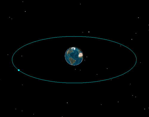
Inserting a geostationary satellite (GEO) into STK
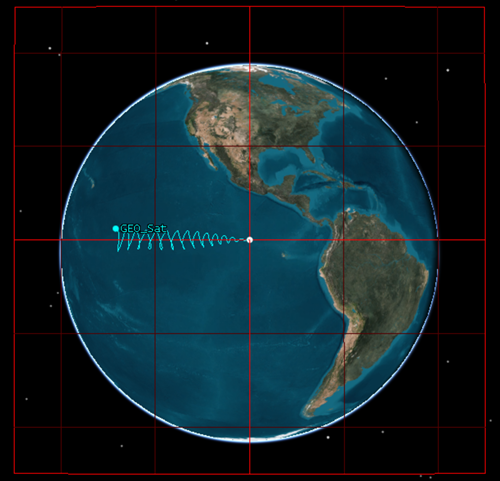
- The Geostationary Box option found in the 3D Graphics - Proximity page of a satellite’s property. This option displays a geostationary box as a planar rectangle centred at a fixed longitude. The box’s size and colour can be changed.
- Change the satellite’s Orbit System to “Fixed by Window” instead of “Inertial by Window” and remove the satellite’s lead track while adding a trail track will add to the visualisation of the satellite in STK.

What do I need to do to improve the visualisation of GEO Satellite Orbits in STK?
To improve the visualisation of GEO Satellite orbits in STK to the level shown in this image you have two choices;- With the free version of STK, there is an FAQ that shows how to make the visualisation changes by adding a dummy facility and creating a new plane to act as the geostationary box.
- If using MATLAB and the STK Integration and Analysis Workbench licences, there is a geostationary satellite visualiser helper script that will do all the work for you.


